
Home | GlobCorine
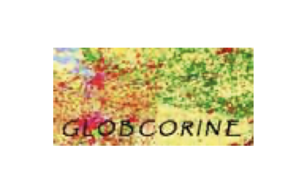
GlobCorine demonstrated an automatic service that can generate in a consistent way land cover/land use maps and land change indicators, based on a CLC-compatible legend. CLC is derived from a visual identification and classification of landscape objects using high resolution images.
We use cookies to help you navigate efficiently and perform certain functions. You will find detailed information about all cookies under each consent category below.
We also use third-party cookies that help us analyse how you use this website, store your preferences, and provide the content that is relevant to you. These cookies will only be stored in your browser with your prior consent.
You can choose to enable or disable some or all of these cookies but disabling some of them may affect your browsing experience.
The Greek National Distributed Centre is funded by the Greek General Secretariat of Research and Technology and is coordinated by the Institute of Marine Biology, Biotechnology and Aquaculture of the Hellenic Centre for Marine Research, in conjunction with 47 associated partner institutions.
To know more about how Greece contributes to LifeWatch ERIC, please visit our dedicated webpage.
The Italian National Distributed Centre is led and managed by the Italian National Research Council (CNR) and is coordinated by a Joint Research Unit, currently comprising 35 members. Moreover, Italy hosts one of the LifeWatch ERIC Common Facilities, the Service Centre.
To know more about how Italy contributes to LifeWatch ERIC, please visit our dedicated webpage.
The Dutch National Distributed Centre is hosted by the Faculty of Science of the University of Amsterdam. Moreover, The Netherlands hosts one of the LifeWatch ERIC Common Facilities, the Virtual Laboratory and Innovation Centre.
To know more about how The Netherlands contributes to LifeWatch ERIC, please visit our dedicated webpage.
The Portuguese National Distributed Centre is managed by PORBIOTA, the Portuguese e-Infrastructure for Information and Research on Biodiversity. Led by BIOPOLIS/CIBIO-InBIO – Research Centre in Biodiversity and Genetic Resources, PORBIOTA connects the principal Portuguese research institutions working in biodiversity.
To know more about how Portugal contributes to LifeWatch ERIC, please visit our dedicated webpage.
The Slovenian National Distributed Centre is led by the Research Centre of the Slovenian Academy of Sciences and Arts (ZRC SAZU). It focuses on the development of technological solutions in the field of biodiversity and socio-ecosystem research.
To know more about how Slovenia contributes to LifeWatch ERIC, please visit our dedicated webpage.
The Spanish National Distributed Centre is supported by the Ministry of Science, Innovation and Universities, the Regional Government of Andalusia and the Guadalquivir River Basin Authority (Ministry for Ecological Transition-MITECO). Moreover, Spain is the hosting Member State of LifeWatch ERIC, the location of its Statutory Seat & ICT e-Infrastructure Technical Office (LifeWatch ERIC Common Facilities).
To know more about how Spain contributes to LifeWatch ERIC, please visit our dedicated webpage.
The Bulgarian National Distributed Centre is represented by the Agricultural University-Plovdiv.
To know more about how Bulgaria contributes to LifeWatch ERIC, please visit our dedicated webpage.
The Belgian National Distributed Centre makes varied and complementary in-kind contributions to LifeWatch ERIC. These are implemented in the form of long-lasting projects by various research centres and universities distributed throughout the country and supported by each respective political authority.
To know more about how Belgium contributes to LifeWatch ERIC, please visit our dedicated webpage.